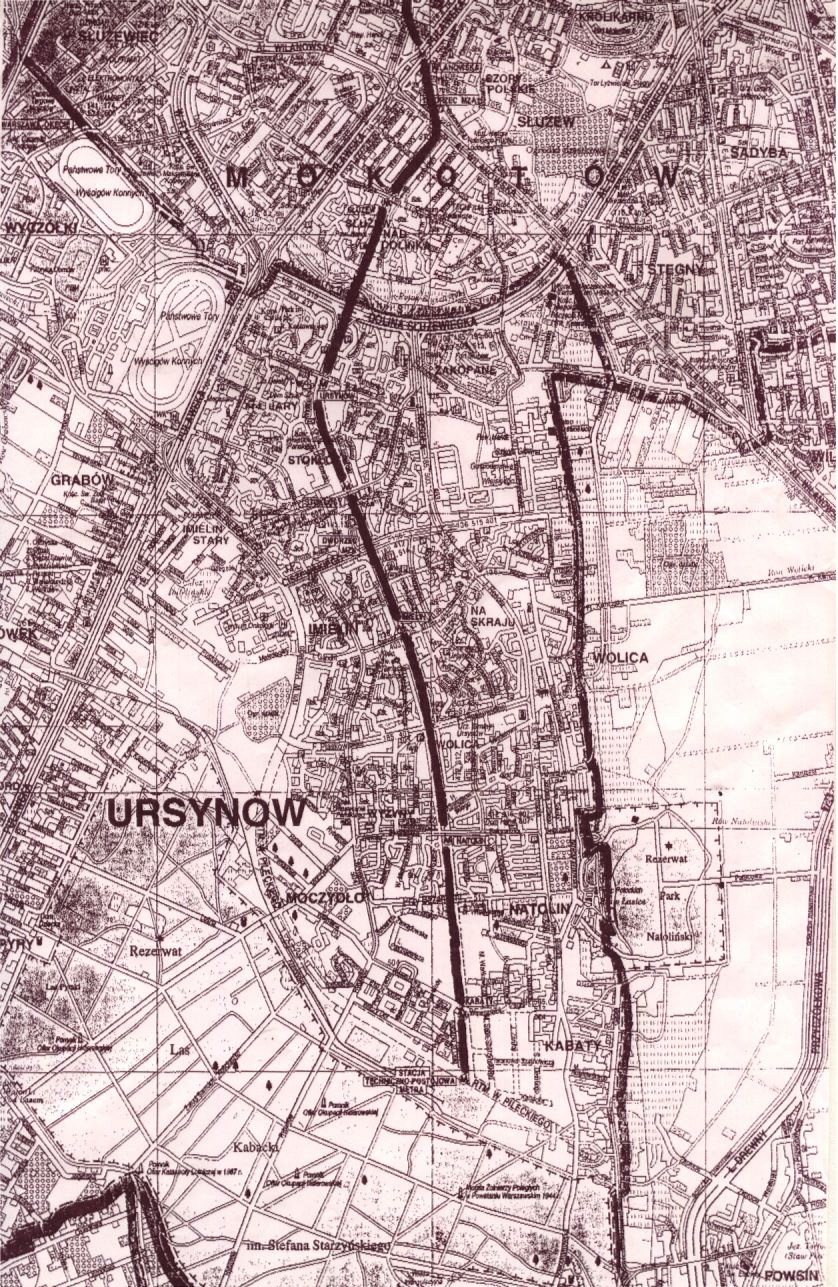
I am grateul to Jeff H. Adams for the following notes:
"Here is a planned Warsaw Metro map, which I copied from Traction Yearbook 1987, and copies of a current Warsaw street map showing the part that has been opened (I added the highlighting). Relating the old map to the present, the Metro is operating from Kabatyu to Wawelska (ultimately given the name "Politechnika")."
 My home page.
 My personal page.